Pictures of Fishergate and Fulford Road from Cardindex, York Explore,
Art Gallery and York Press
Art Gallery and York Press
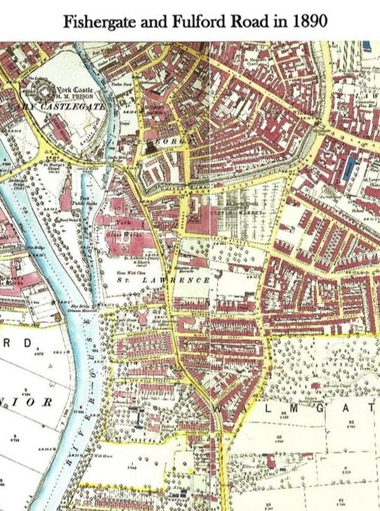
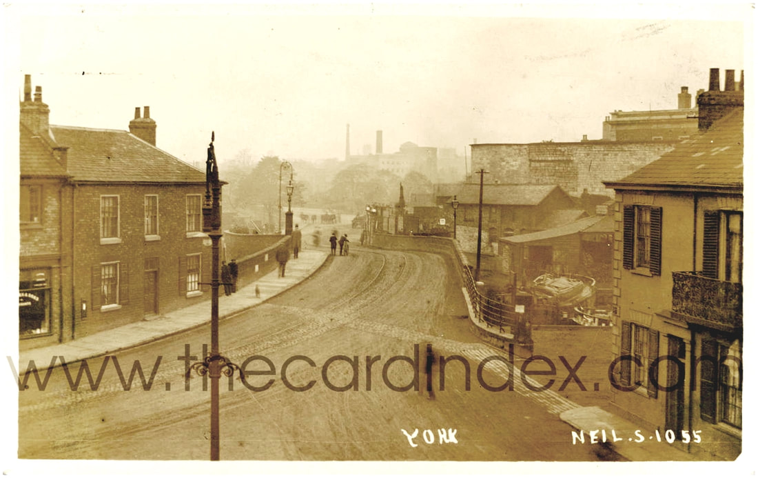
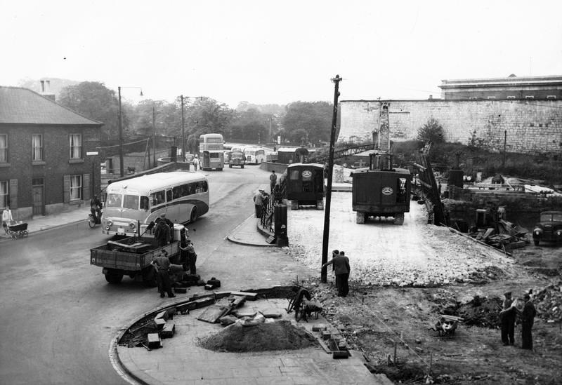
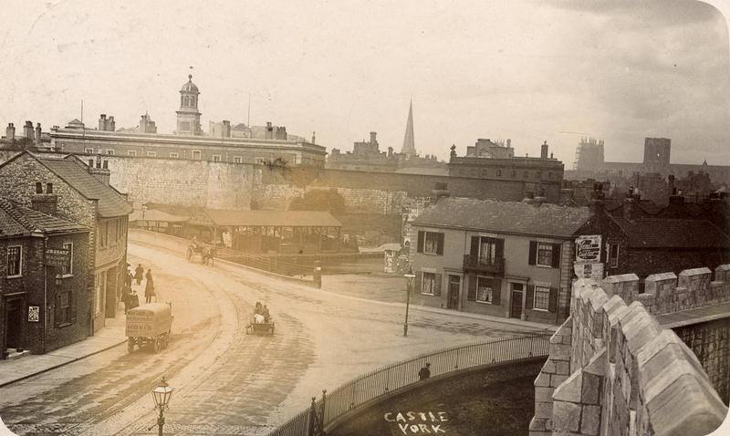
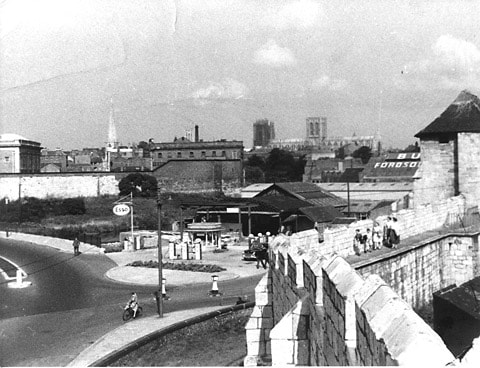
Follow this collection of images from Castle Mills Bridge, (close to Fishergate Postern Gate and Tower. [more info HERE]) and follow Fishergate south along Fulford Road to just past the Junction with Cemetery Road.
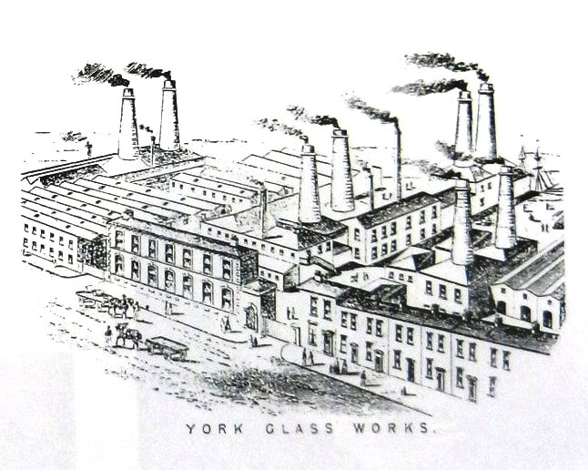
Castle Mills lock and bridge was built in 1795, sparking the industrialisation of York and glass making in Fishergate. Taking advantage of the newly improved waterside access, the glass works became one of York's largest employers. More info HERE
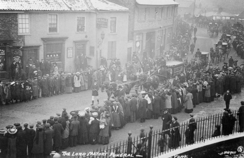
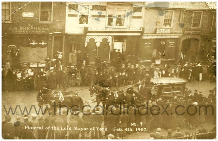
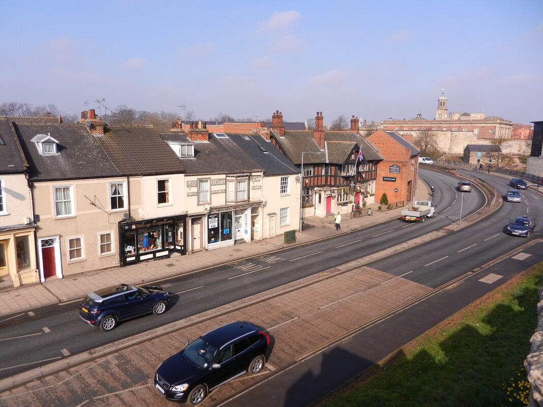
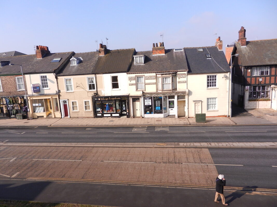
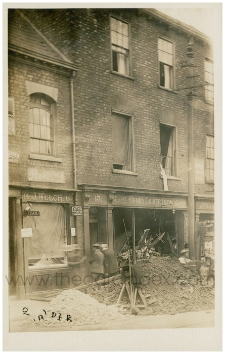
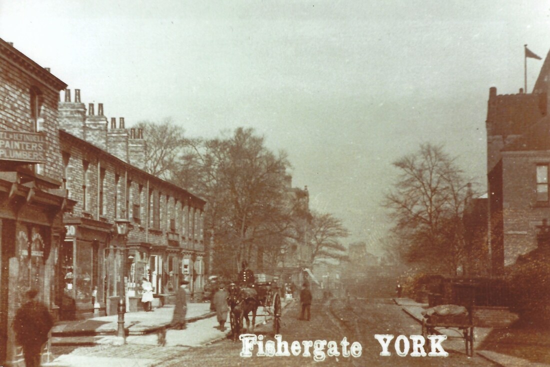
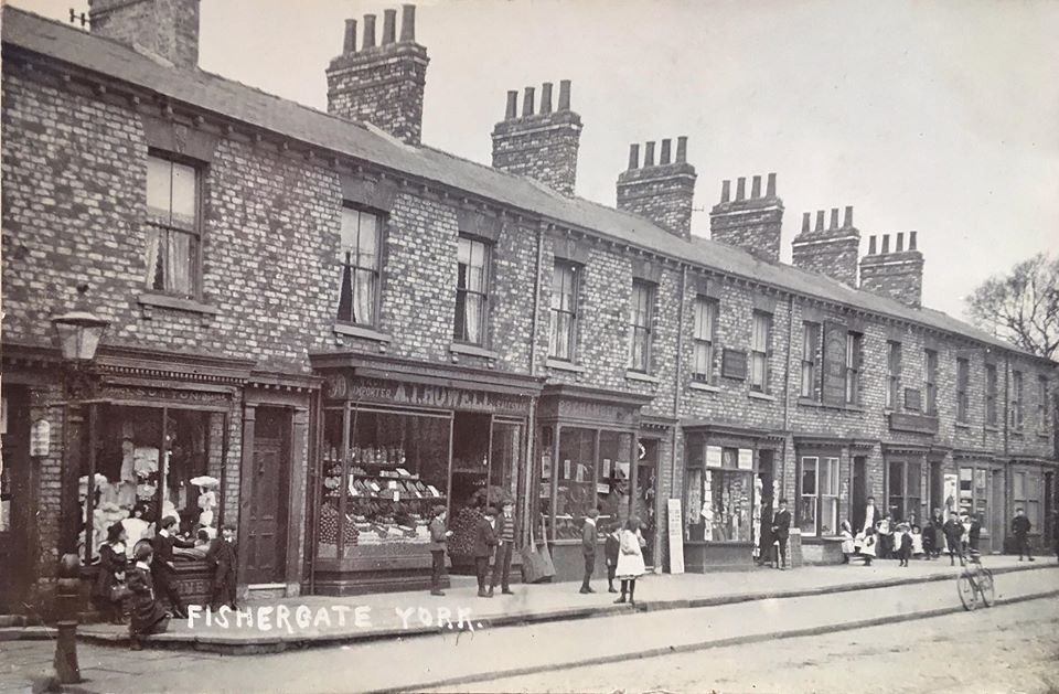
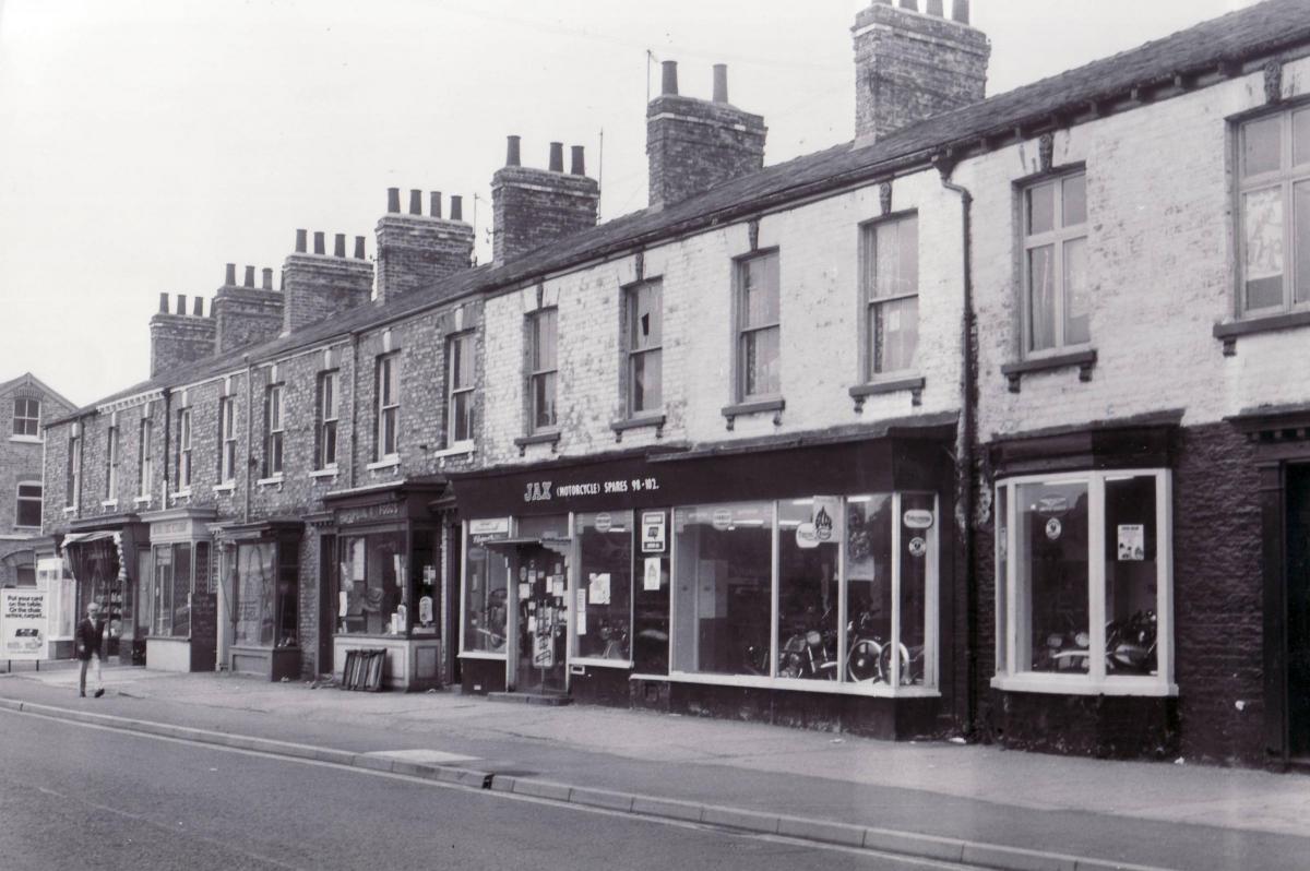
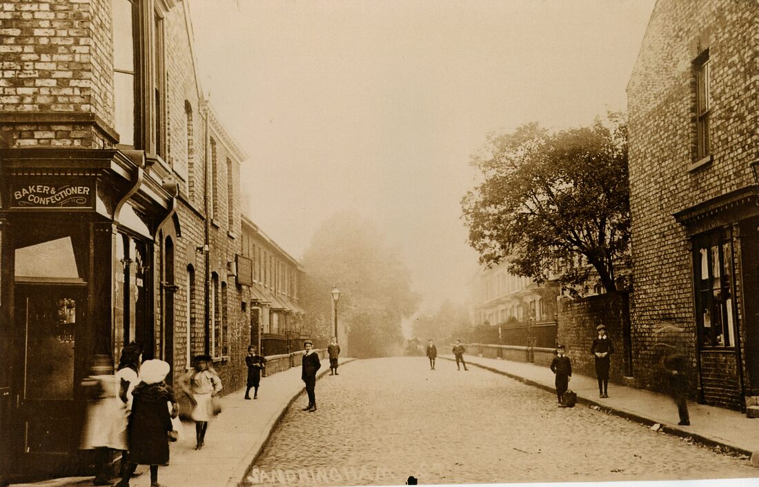
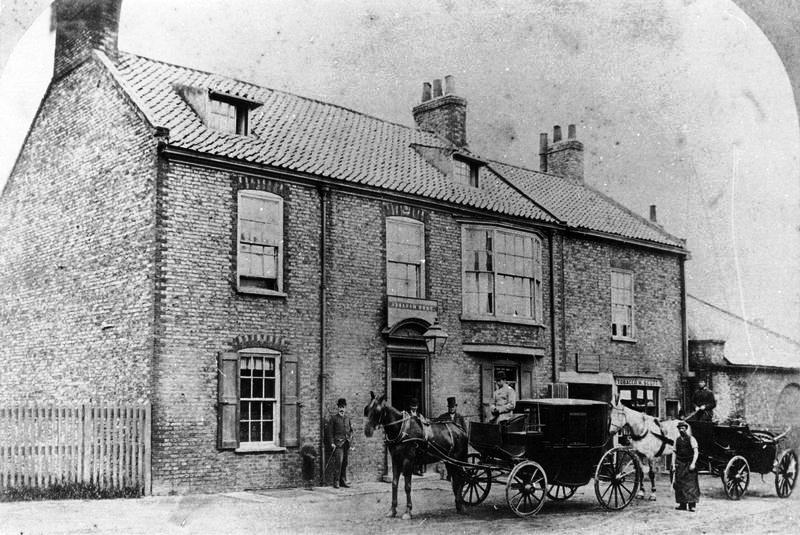
Look carefully at the shops along this part of Fishergate and you will see they are built at a slant to the road and many still have their early 19th century doorways.
Until it was demolished in the mid-16th century, St Andrew's Priory stood on Fewster Way, between Fishergate and the Foss. Centuries before the Priory, this area was an important Anglian trading and manufacturing centre. (more info HERE)
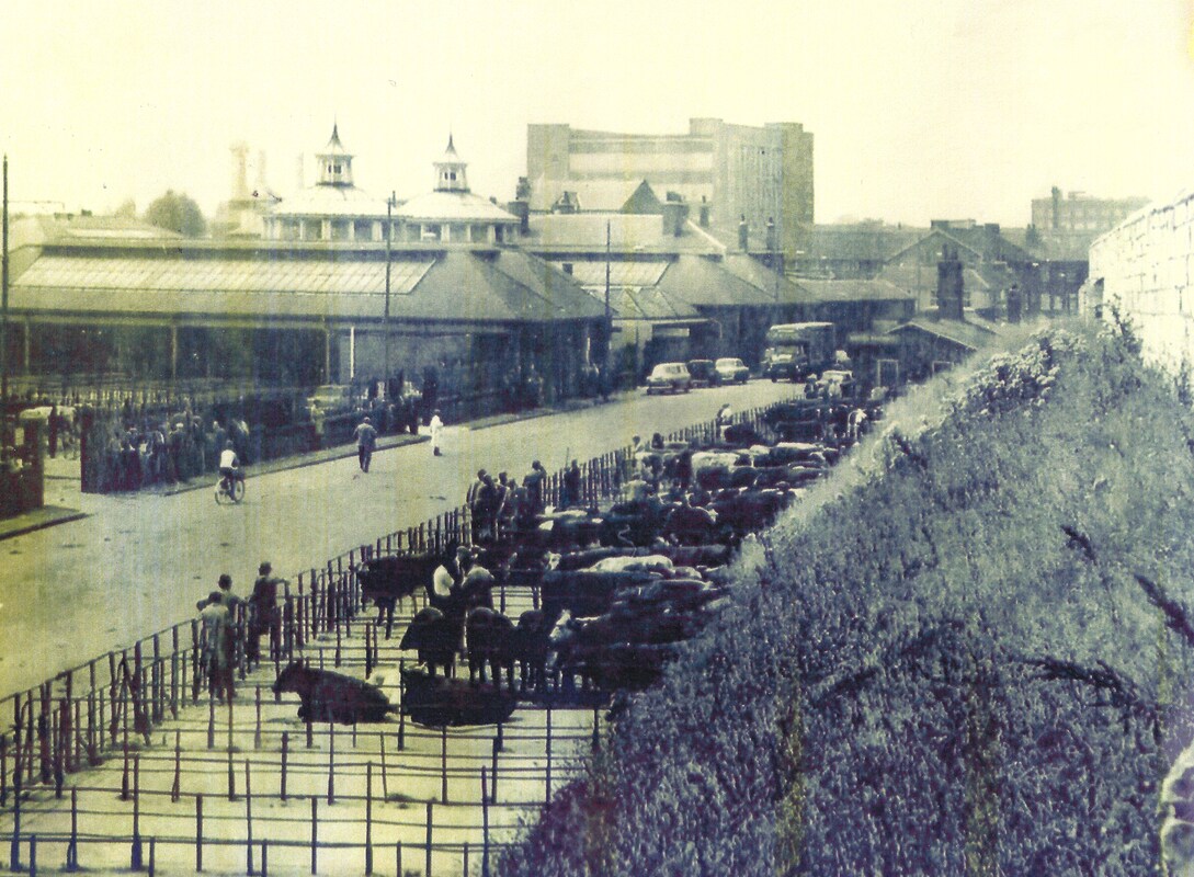
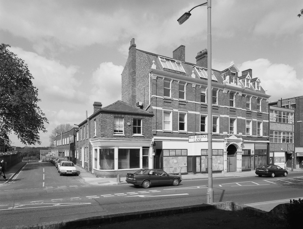
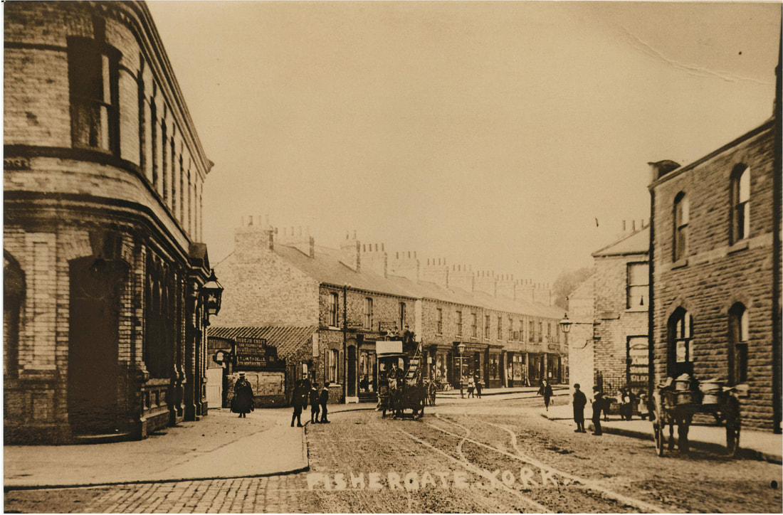
Fishergate Bar was un-blocked in 1826, when the cattle market was moved to the Barbican site. This re-opened the route of the Roman Road towards Selby, which joins Fishergate at Blue Bridge Lane.
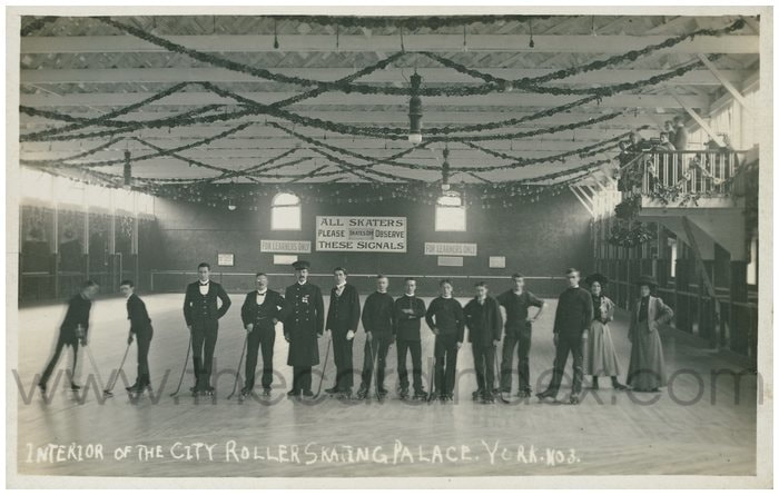
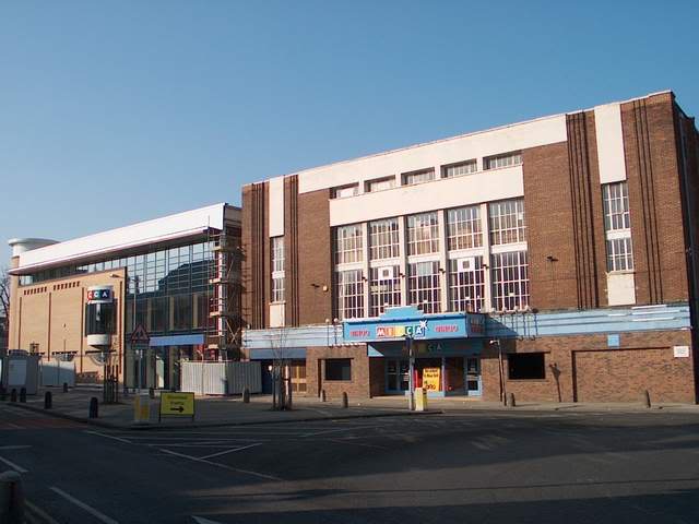
The Mecca bingo hall on this junction was the site of the Roller Skating Palace and later the Rialto Cinema.
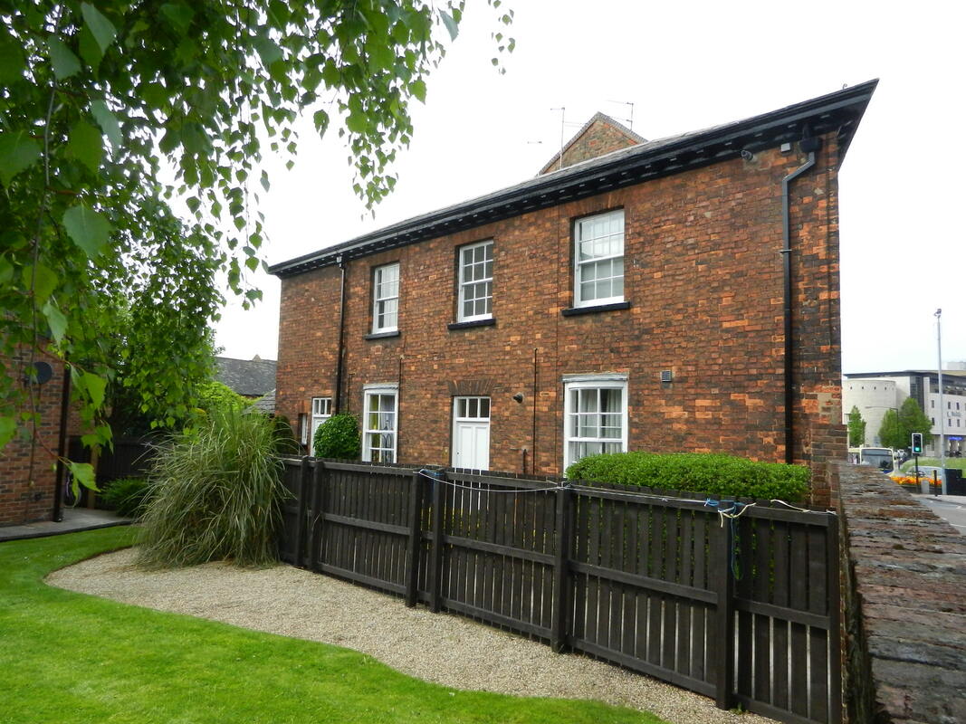
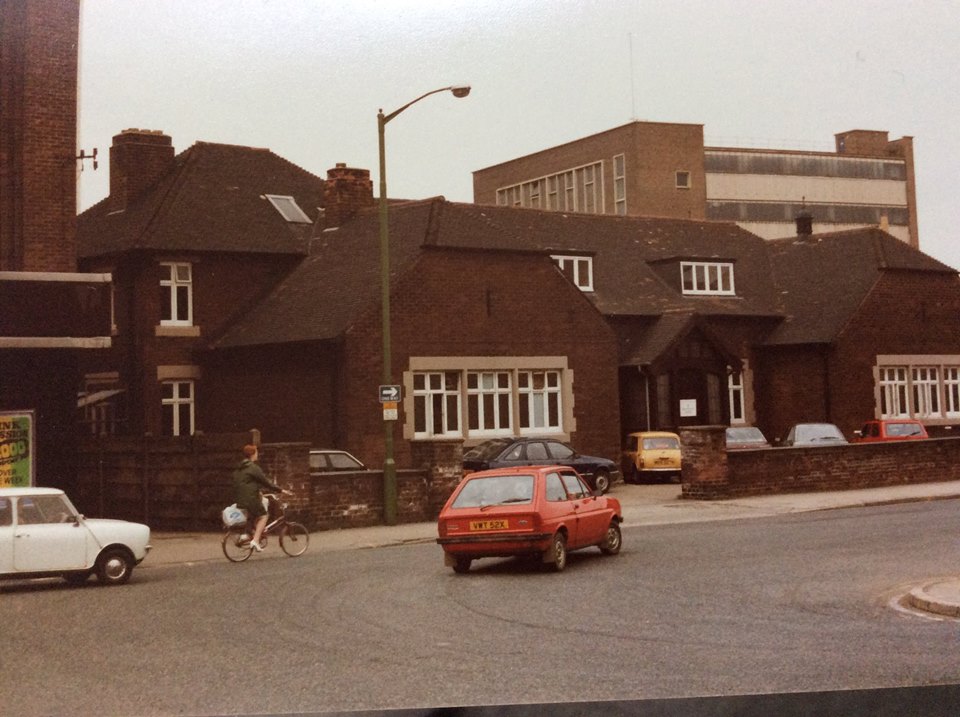
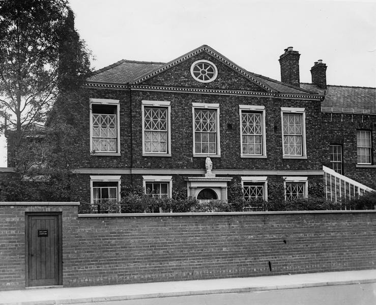
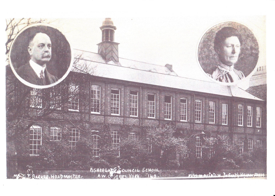
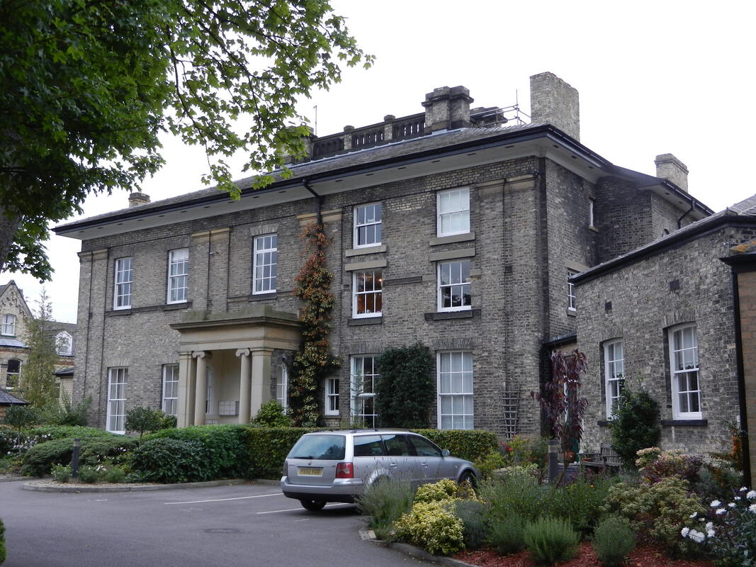
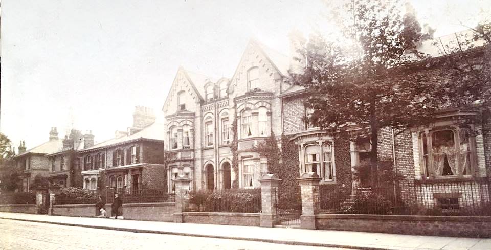
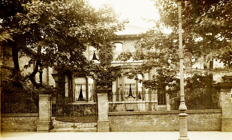
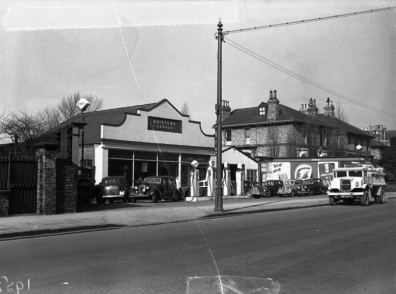
South of Blue Bridge Lane, the area is filled with Victorian villas, terraces, shops and Fishergate School. Opposite this is Fishergate House, a grand villa built in 1837 on the grounds of the lost church of St Helen. (more info HERE)
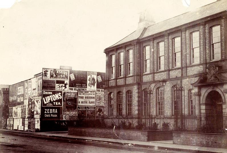
Fishergate School was designed by Walter Brierley and opened in 1896. It quickly gained a reputation for the quality of its education - and continues to do so today. Sadly at least 86 former pupils and teachers were killed in the Great War and are commemorated on a plaque in the entrance porch. (info HERE)
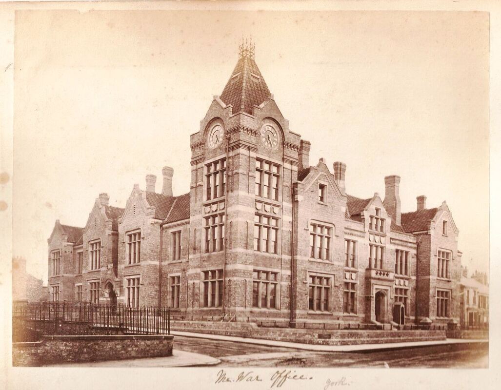
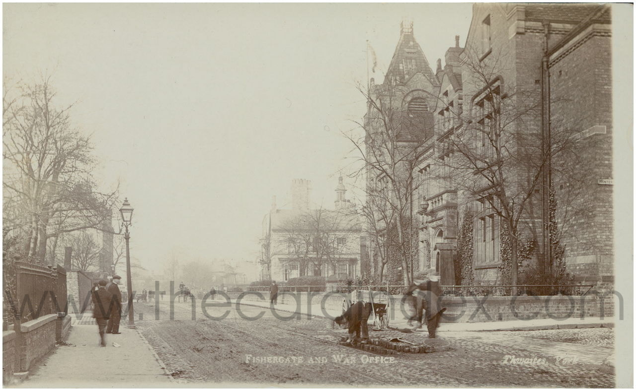
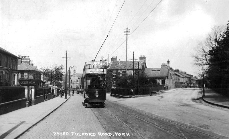
This part York has been associated with the military since the Cavalry Barracks opened in 1795, and the War Office moved the Northern Command HQ into Tower House in 1876. The horse tram which is shown on some of the photographs, connected the Barracks to the HQ and York Station. It was electrified in 1910, shortly after the Infantry Barracks was constructed.
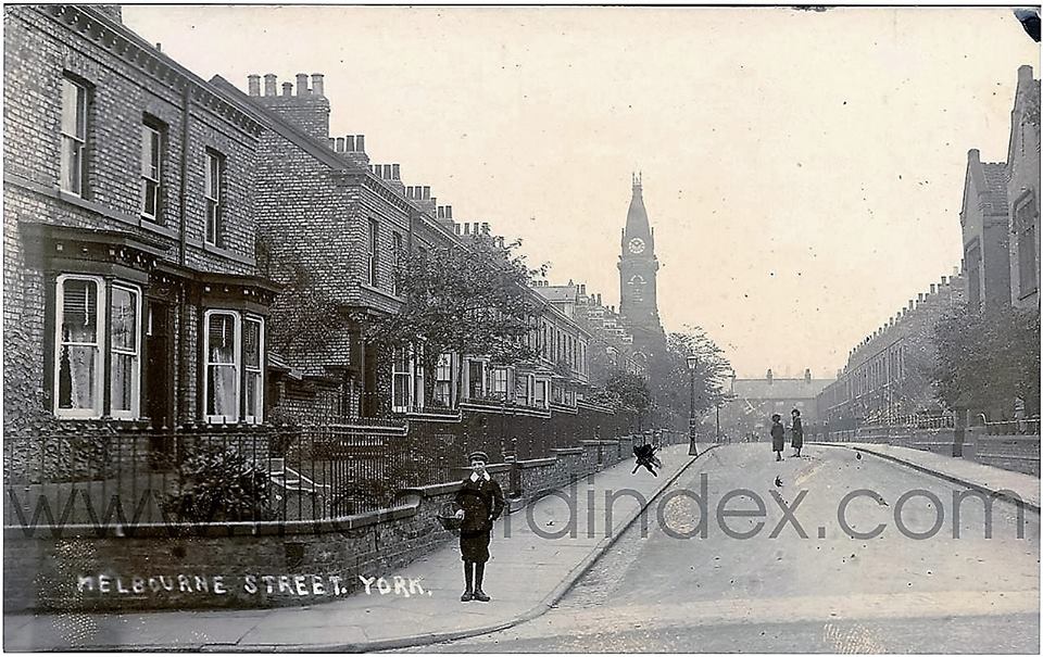
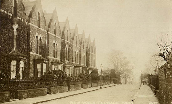
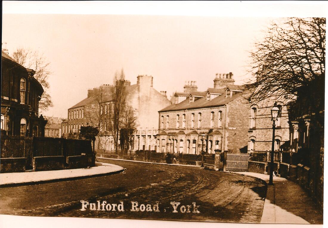
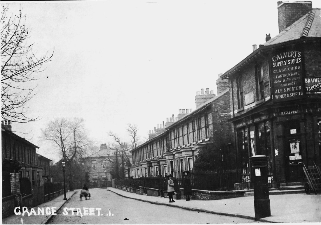
Until the Enclosures of 1756, most of this area was open medieval fields. Fulford Grange (at the end of Grange St) was built on amalgamated Enclosure strips. Its extensive formal grounds and parkland bordered Fulford Road from New Walk Terrace to near Alma Terrace, but owners began building in the 1870s, and by 1910 most of the grounds had been developed with villas and terraces.
Castle Mills lock and bridge was built in 1795, sparking the industrialisation of York and glass making in Fishergate. Taking advantage of the newly improved waterside access, the glass works became one of York's largest employers. More info HERE
Look carefully at the shops along this part of Fishergate and you will see they are built at a slant to the road and many still have their early 19th century doorways.
Until it was demolished in the mid-16th century, St Andrew's Priory stood on Fewster Way, between Fishergate and the Foss. Centuries before the Priory, this area was an important Anglian trading and manufacturing centre. (more info HERE)
Fishergate Bar was un-blocked in 1826, when the cattle market was moved to the Barbican site. This re-opened the route of the Roman Road towards Selby, which joins Fishergate at Blue Bridge Lane.
The Mecca bingo hall on this junction was the site of the Roller Skating Palace and later the Rialto Cinema.
South of Blue Bridge Lane, the area is filled with Victorian villas, terraces, shops and Fishergate School. Opposite this is Fishergate House, a grand villa built in 1837 on the grounds of the lost church of St Helen. (more info HERE)
Fishergate School was designed by Walter Brierley and opened in 1896. It quickly gained a reputation for the quality of its education - and continues to do so today. Sadly at least 86 former pupils and teachers were killed in the Great War and are commemorated on a plaque in the entrance porch. (info HERE)
This part York has been associated with the military since the Cavalry Barracks opened in 1795, and the War Office moved the Northern Command HQ into Tower House in 1876. The horse tram which is shown on some of the photographs, connected the Barracks to the HQ and York Station. It was electrified in 1910, shortly after the Infantry Barracks was constructed.
Until the Enclosures of 1756, most of this area was open medieval fields. Fulford Grange (at the end of Grange St) was built on amalgamated Enclosure strips. Its extensive formal grounds and parkland bordered Fulford Road from New Walk Terrace to near Alma Terrace, but owners began building in the 1870s, and by 1910 most of the grounds had been developed with villas and terraces.